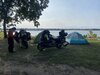
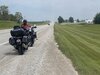
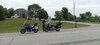
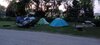
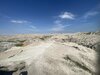
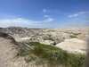
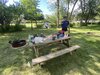
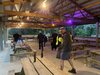
OP
OP
Pretty basic, I downloaded a jpg of a USA map then upload to paint and enlarge to 100% and reference google maps back and forth drawing the thickest line with magenta color m, some of the smaller roads you have to guess the path ha! I keep a master and “save as” to create the next route and rename it.