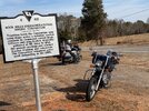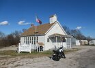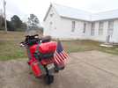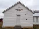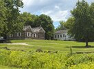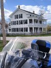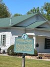

The beautiful church you see above—the oldest in Bartow County—was originally built in 1843 (the congregation had been meeting at this site since 10 years earlier, but this actual building dates to 1843).
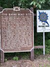
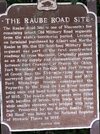
The church was built along the Tennessee Road, a major route constructed through the Cherokee Indian Nation* in 1829 to connect the Tennessee River to Augusta, then the nearest port city.
Today the "Tennessee Road" is currently designated as US Highway 411 and the nearest Incorporated town to this old church is Rydel, Georgia.
The church also sits next to an active set of railroad tracks that have their origins dating to the 1840s, although obviously the tracks have been replaced several times since then and all the bridges and trestles rebuilt and enlarged at least twice.
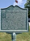
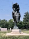
* The Old Federal Road dates to the early 1800s when white settlers actually negotiated a treaty to use the Cherokee's trails & build and improve connections between existing Indian trails with their permission. By the early 1830s white men had given up on that notion of "buying an easement" and just decided to slaughter the Indians and send them on a death march to Oklahoma! Trail of Tears.
And that's why most Cherokee Indians today are of the "western band" based in Oklahoma, but there's a smaller Eastern Band of the Cherokee in Georgia, North Carolina, and Tennessee .