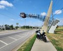
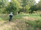
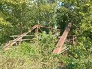
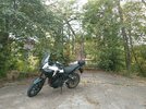
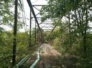
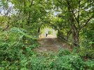
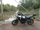
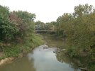
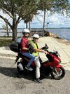
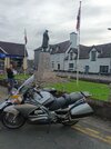
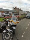
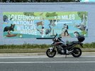
Where did you ride today?

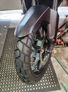
I had to take a ride yesterday. I put new Bridgestone T33s on the XR and it was downright embarrassing to have the entire tire surface be the "chicken strip". Plus the day was sunny. And it had been a couple days without riding the bike. ;)

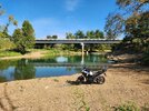
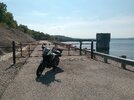
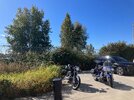
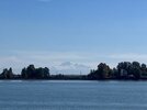
So I headed out to a place I'd never been to before. Martha's Bay near La Conner, WA. Just a quiet little bay on Puget Sound. No wind, so the water was quiet. In fact the place was incredibly quiet. One other car stopped by and I didn't even notice when they came or went.

PcpqO0Z.jpeg


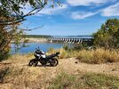
From there, headed to Ala Spit. The Brave search says there are over 1332 miles of coastline in Puget Sound and if you include the islands and broader Salish Sea area, it is over 2500. Places like this are abundant. Totally quiet. Just me and a guy fishing for Coho salmon.

xeaFQyv.jpeg


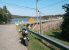
And a picture of Deception Pass on the way back.

8pUE3uo.jpeg


Little factoid from Wikipedia:

Currents​

Deception Pass is a dramatic seascape where the tidal flow and whirlpools beneath the twin bridges connecting Fidalgo Island to Whidbey Island move quickly. During ebb and flood tide current speed reaches about 8 knots (9.2 mph), flowing in opposite directions between ebb and flood.[9] This swift current can lead to standing waves, large whirlpools, and roiling eddies visible from the twin bridges' pedestrian walkways or from the trail leading below the larger south bridge from the parking lot on the Whidbey Island side. Boats can be seen waiting on either side of the pass for the current to stop or change direction before going through. Thrill-seeking kayakers go there during large tide changes to surf the standing waves and brave the class 2 and 3 rapid conditions.

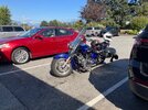
The tires held up nicely, but still have some of the little tiny rubber nubs on them. I'll have to try again...

Chris
 
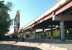
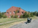
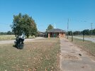
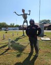
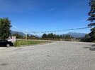
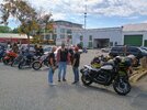
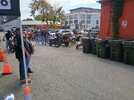
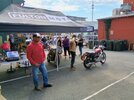
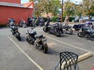
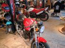
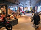
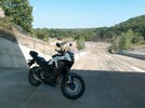
Yesterday I got in about 260 miles. I rode to Culpepper for a Ride In bike show at Fulton Moto.
 

Attachments

  • IMG_20260920_113653436_HDR_AE.jpg
    IMG_20260920_113653436_HDR_AE.jpg
    217.5 KB · Views: 11
  • IMG_20260920_113636686_HDR_AE.jpg
    IMG_20260920_113636686_HDR_AE.jpg
    224.3 KB · Views: 11
  • IMG_20260920_113624277_HDR_AE.jpg
    IMG_20260920_113624277_HDR_AE.jpg
    179.5 KB · Views: 12
  • IMG_20260920_113618069_HDR_AE.jpg
    IMG_20260920_113618069_HDR_AE.jpg
    260.2 KB · Views: 12
  • IMG_20260920_113510812_HDR_AE.jpg
    IMG_20260920_113510812_HDR_AE.jpg
    208.7 KB · Views: 12
  • IMG_20260920_113447342_HDR_AE.jpg
    IMG_20260920_113447342_HDR_AE.jpg
    163.3 KB · Views: 12
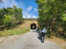
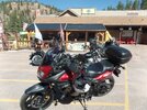
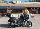
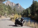
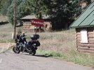
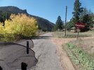
Today I got out on the new to me Versys 1000 that I bought from my son-in-law (I rescued it from him. It was a garage queen) and rode down to Deckers Corner for the second time in two days. The weather was perfect yesterday and today, as normal, before a major weather change comes in. This time I took a different route with no dirt in it as I did not want to take the Versys off pavement. (see enclosed map) Highway 285 to Pine Junction and then 126 past Pine and through Buffalo Creek onto Deckers Got my obligatory cup of coffee and then headed back. I can't leave the wife alone very long. Came back to Buffalo Creek and turned right on to Foxton Road that meanders along parallel with the North Fork of the south Platte River. About 5 miles in Foxton Road makes a left turn and leave the river and climbs out up Kennedy Gulch to a right turn that takes me up some switchbacks thru a residential area to Pleasant Park Road. On down the mountain we go onto Upper Dear Creek Canyon Rd. to Dear Creek Canyon Rd. and out onto C470. I jumped on the Express Lane on C470 (Free for bikes) which skirts the south side of the Metro Area and headed home. Beautiful ride as the Aspin leaves were in the height of their color change in the lower elevations. Gorgeous golden yellow leaves with a slight mix of some green late changers. Dancing in the slight breeze as they glisten in the late Sept. sun light. Another great local Colorado ride in the wonderful Front Range Foothills. 135 miles and 3.5 hours.

https://maps.app.goo.gl/DpBYUpam6sLMeWLM9


SAM_8918.JPGSAM_8919.JPGSAM_8920.JPGSAM_8923.JPG
 
Took the last ride to Artist Point on Mt. Baker today. There's a system heading in, and there's already been a light snowfall up there. Once they get a heavy snowfall, Artist Point is closed till they reopen it in May, June or July.

So here's some pics to enjoy.

On Hwy 9 headed north.
HtPaR9D.jpeg


Mt Shuksan from the parking lot.
C4AMx6p.jpeg


5L8eJlA.jpeg


okZJEXH.jpeg


Mt. Baker in the background.
nuYOLdM.jpeg


X0rcdYx.jpeg


AO5IMfe.jpeg


By this point, Mt. Baker is almost hidden from the clouds coming in from that system.
uR1EkxQ.jpeg


guuXhAq.jpeg


Heading back. Mt. Shuksan
hdyKi9j.jpeg


Chris
 
Took the last ride to Artist Point on Mt. Baker today. There's a system heading in, and there's already been a light snowfall up there. Once they get a heavy snowfall, Artist Point is closed till they reopen it in May, June or July.

So here's some pics to enjoy.

On Hwy 9 headed north.
HtPaR9D.jpeg


Mt Shuksan from the parking lot.
C4AMx6p.jpeg


5L8eJlA.jpeg


okZJEXH.jpeg


Mt. Baker in the background.
nuYOLdM.jpeg


X0rcdYx.jpeg


AO5IMfe.jpeg


By this point, Mt. Baker is almost hidden from the clouds coming in from that system.
uR1EkxQ.jpeg


guuXhAq.jpeg


Heading back. Mt. Shuksan
hdyKi9j.jpeg


Chris

Wow, some of those look like paintings.
 
Back
Top Bottom